District Profile
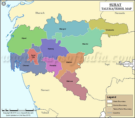
Location map of KVK:
S.N.
Particular
Area (Ha)
1
Cereals
129184
2
Vegetables
38077
3
Fruit Crops
21691
4
Flower Crops
749
Population: 6079231 (SC-3.75%, ST-18.88%, Gen.:77.37%)
Blocks: 9+1=10
Villages :713 Gram Panchayat: 572
Agroclimatic Zone: II- South Gujarat Zone
AES: I to IV
Total land: 432698 ha
Cultivable: 327296 ha
Forest: 36680 ha
Net Sown area: 285671 + Area >ones: 30016= Total sown area: 315687
Irrigation: 71.04%, Umarpada:10.87%, Palsana, kamrej, bardoli >90%
Farmers: 140002 (Marginal: 54450, Small: 38110, Big: 47442) (SC: 4392, ST: 37592, Gen.: 97419)
Rain fall (2019) :2099 mm
Crops: Sugarcane, Paddy, Pigeon pea, Soybean, Sorghum, Pulses
Vegetables: Okra, brinjal, vine crops
Fruit crops: Banana, Mango, Papaya
Location map of KVK:
|
S.N. |
Particular |
Area (Ha) |
|
1 |
Cereals |
129184 |
|
2 |
Vegetables |
38077 |
|
3 |
Fruit Crops |
21691 |
|
4 |
Flower Crops |
749 |
Population: 6079231 (SC-3.75%, ST-18.88%, Gen.:77.37%)
Blocks: 9+1=10
Villages :713 Gram Panchayat: 572
Agroclimatic Zone: II- South Gujarat Zone
AES: I to IV
Total land: 432698 ha
Cultivable: 327296 ha
Forest: 36680 ha
Net Sown area: 285671 + Area >ones: 30016= Total sown area: 315687
Irrigation: 71.04%, Umarpada:10.87%, Palsana, kamrej, bardoli >90%
Farmers: 140002 (Marginal: 54450, Small: 38110, Big: 47442) (SC: 4392, ST: 37592, Gen.: 97419)
Rain fall (2019) :2099 mm
Crops: Sugarcane, Paddy, Pigeon pea, Soybean, Sorghum, Pulses
Vegetables: Okra, brinjal, vine crops
Fruit crops: Banana, Mango, Papaya